


An old map can change how you look at a familiar Noblesville block
Hamilton County Historical Society points readers toward Sanborn fire-insurance maps for investigating the town’s earlier streets and buildings.

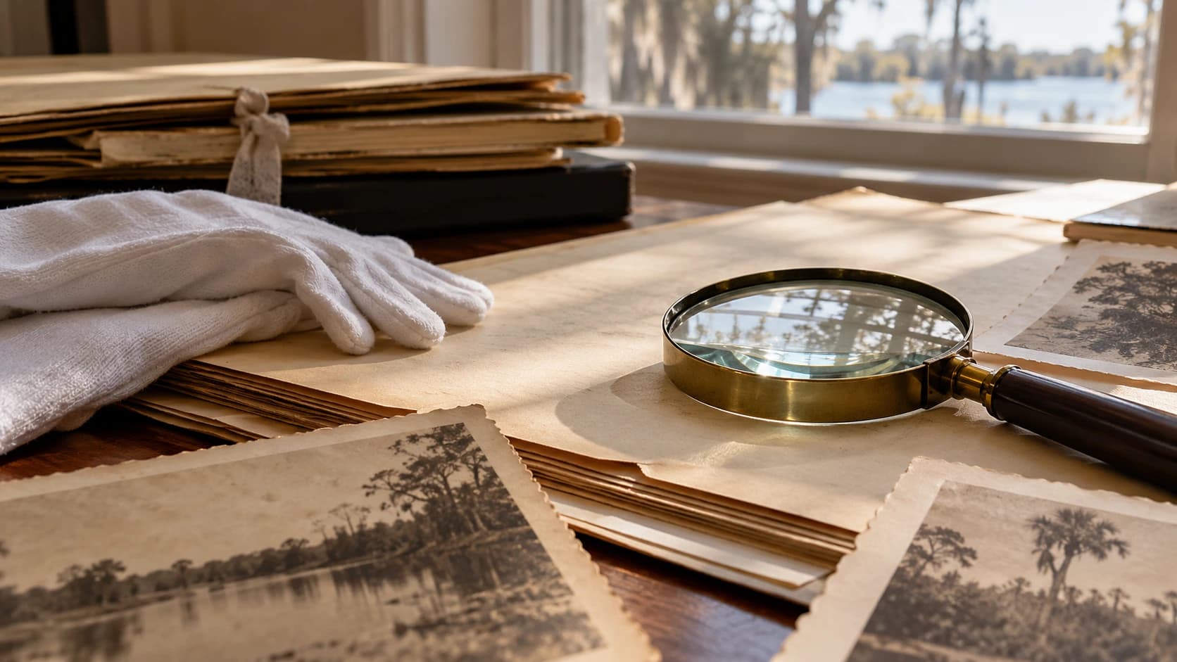
Image: AI-generated illustrative photograph of generic historical research materials; not a Sanborn map, an actual local record or the historical society’s collection.
A familiar address can become a new question when you look for it on an older map. Hamilton County Historical Society’s Sanborn Maps page links readers to the Library of Congress collection with a Noblesville search, creating a starting point for exploring how a block once appeared in documentary form.
The society explains that Sanborn maps were created for the insurance industry. Their original purpose matters: a map made to describe buildings for one task does not answer every question about the people who lived or worked in them. Read the date, sheet information and key before trying to compare it with the present.
Sponsored
Start with one block and write down what is directly visible before making an interpretation. Does a footprint appear different, or is a street labeled another way? Keep a note of the map edition and sheet so you can return to the same evidence. A difference between two records is a useful lead, not automatic proof of a particular story.
Use the society’s research resources to decide what to consult next, and contact it about questions that need local context. If you visit the neighborhood afterward, observe from public access and respect private property. The reward can be noticing that a place you pass every week has a history still waiting to be investigated carefully.




What do you think?
Share your perspective with your neighbors.
Free to join. Your draft stays here while you sign in.
Be the first to share your thoughts.