



Potter’s Bridge gives a White River walk a historic starting point
Hamilton County’s surviving covered bridge anchors a park with trail access, picnic places and a connection to the river.

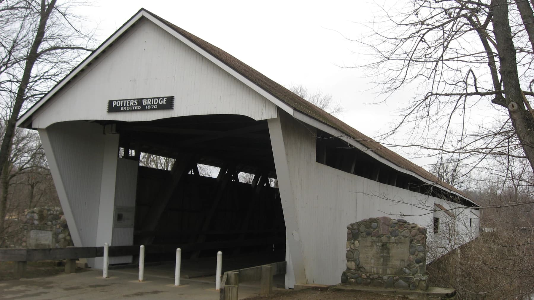
Image: Archival photograph of Potter’s Covered Bridge taken January 16, 2012; paths, vegetation and access conditions may have changed.
A covered bridge gives an ordinary walk a distinct place to begin. Potter’s Bridge Park at 19401 North Allisonville Road contains Hamilton County’s only remaining covered bridge, according to the county’s park page. The county dates its construction to 1870–71 and its restoration to 1999.
The surrounding park offers paved and nature trails, picnic tables and a playground, with connections into the White River Greenway system. Use the current park map to choose a route that suits the time and energy you have, rather than assuming the whole connected system is a short loop back to your vehicle.
Sponsored
Pause to look at the bridge as a structure as well as a photograph: the relationship between its covered span, the river and the route people once needed to cross. Read the information on site to add evidence to what you can see. The archival image with this article records a real 2012 view, not today’s conditions.
Check county notices before going, particularly after high water or heavy rain, and keep to established public access. A relaxed outing can be as simple as viewing the bridge, walking a manageable section of trail and returning for a picnic. There is no need to add a river launch or a long-distance itinerary to appreciate the place.
Sources and visit details
- Hamilton County Parks: Potter’s Bridge history, location and trail connections
- Hamilton County Parks: Potter’s Bridge Park map
Photo: Nyttend / Wikimedia Commons. Public domain. Resized and converted to WebP; the site wordmark may be added in display.







What do you think?
Share your perspective with your neighbors.
Free to join. Your draft stays here while you sign in.
Be the first to share your thoughts.